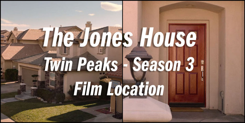
Dougie Jones lives with his wife Janey-E and son Sonny Jim in a house with a red door at 25140 Lancelot Court near Las Vegas, Nevada. In reality, this Twin Peaks film location is found in Stevenson Ranch, California, close to where the scene of Ray Monroe driving Mr. C in Twin Peaks Part 8 on Showtime was shot. Let’s explore the Jones’ home.
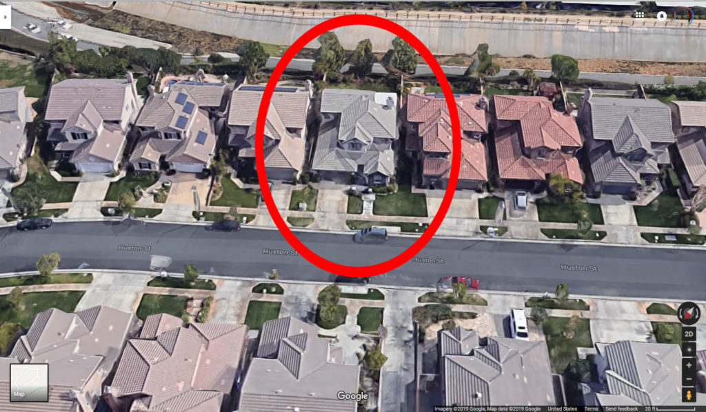
Located in the Santa Clarita Valley, the actual home is located at 25140 Huston Street in Stevenson Ranch. The coordinates for this spot are 34°23’10.3″N 118°34’26.2″W.
This planned community was approved by Los Angeles County in 1987. There were about 1,500 homes built in the region by May 1993 when the original developer Dale Poe and his wife were killed in a car accident.
In fall 1996, Miami-based joined Dale Poe Development Company in a joint venture to complete the 4,000-acre development.
Many street names in Stevenson Ranch were inspired by authors. The community is no stranger to film and television productions. Shows like Weeds on Showtime and the film Pleasantville were also shot in the area.
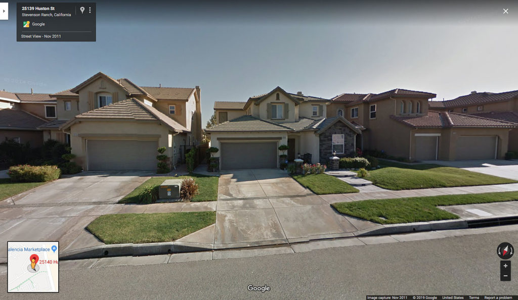
Built in 2003, the 2,776 square-foot home at 25140 Huston has 4 bedrooms and 3 bathrooms. Interestingly, the crew kept the same street number – 25140 – for the address in the series. It probably made things easier by not having to change the number on the side of the house.
Sadly, I’ve been unable to locate any interior images from the home so I’ll be focusing on exterior locations for this story. I’m also saving the “Shootout at Lancelot Court” from Part 16 for a different story, as that scene includes more than just the Jones’ home.
FRONT EXTERIOR
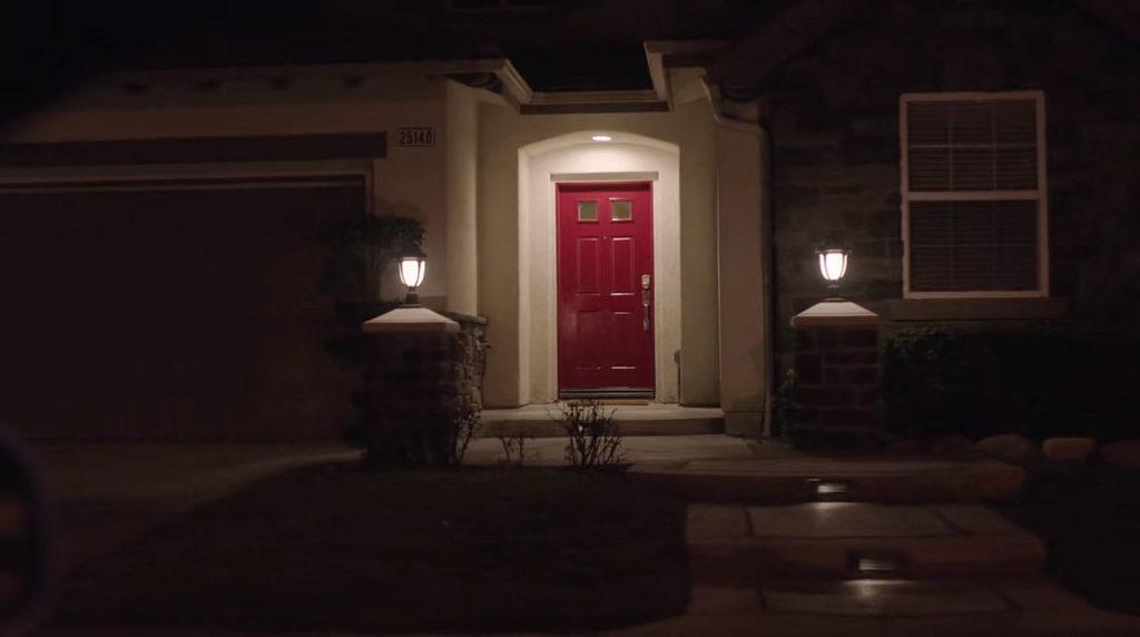
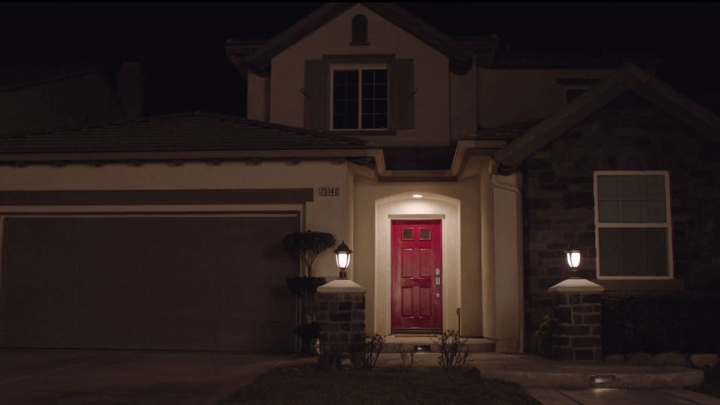
The first look at the Jones’ house is seen in Part 4 when Dougie Jones arrives home via a white limousine after hitting 30 Mega-Jackpots and winning $425,000 at the Silver Mustang Casino. A wider angle nighttime shot of the home is seen in Part 15.
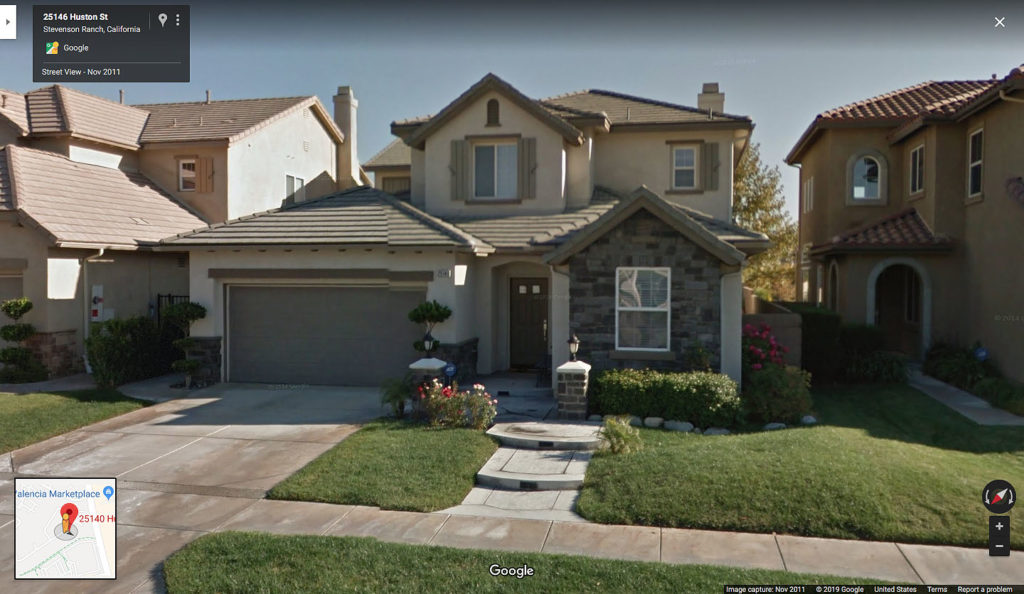
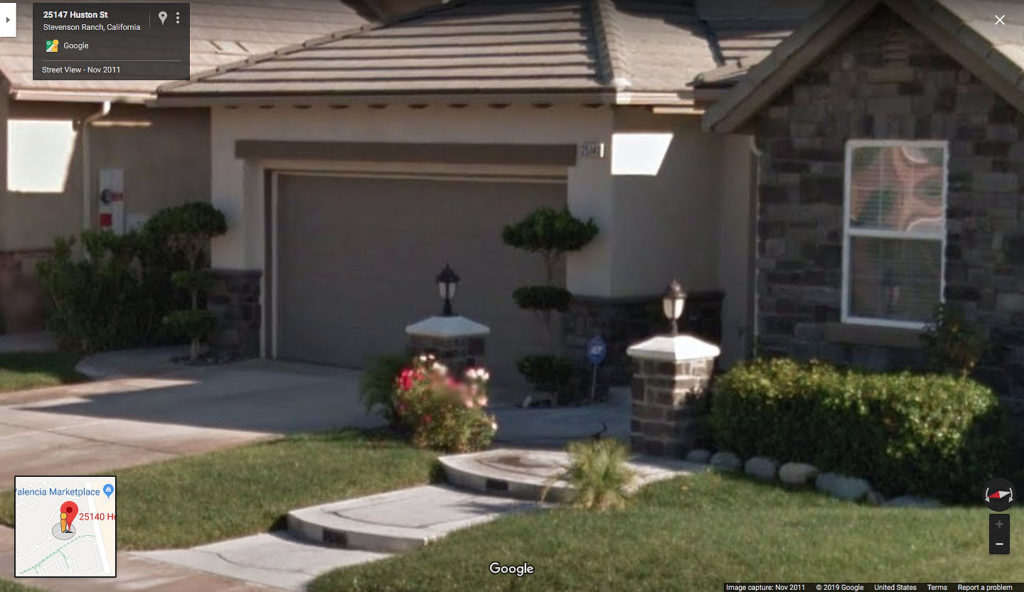
Here’s a daytime look at the front of the home circa 2011 from Google Maps.
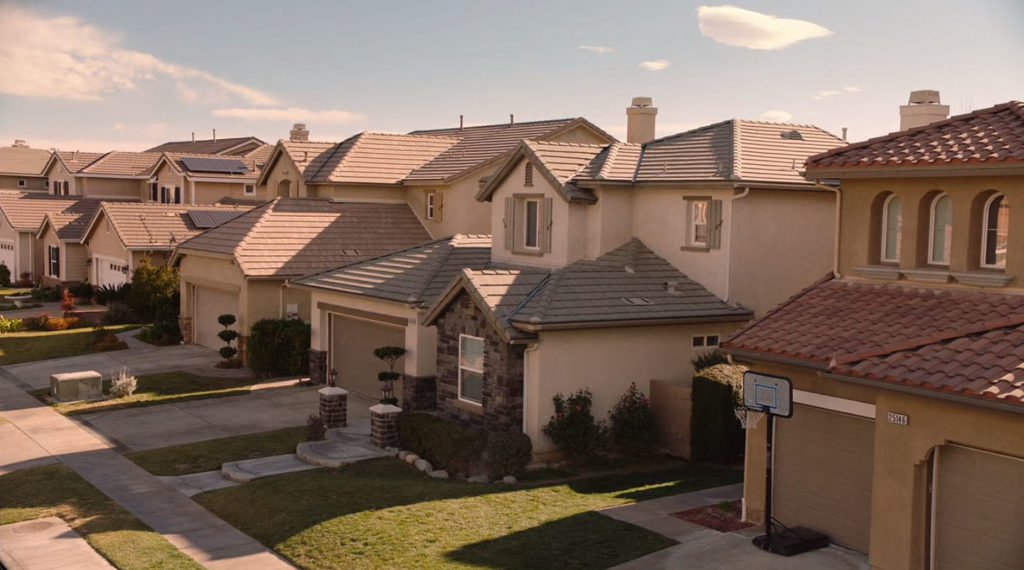
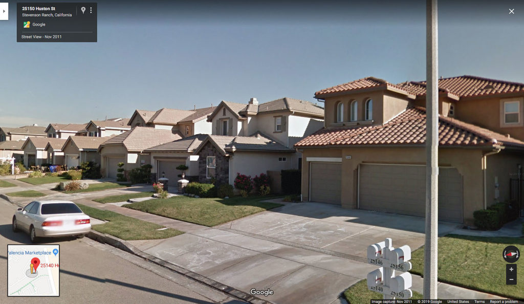
Throughout the series, we get a look at a row of houses along Huston Street. I tried to capture the same angle via Google Maps. I’m guessing either a bucket truck or jib was used to capture the series footage.
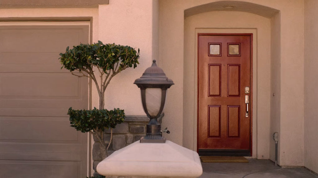
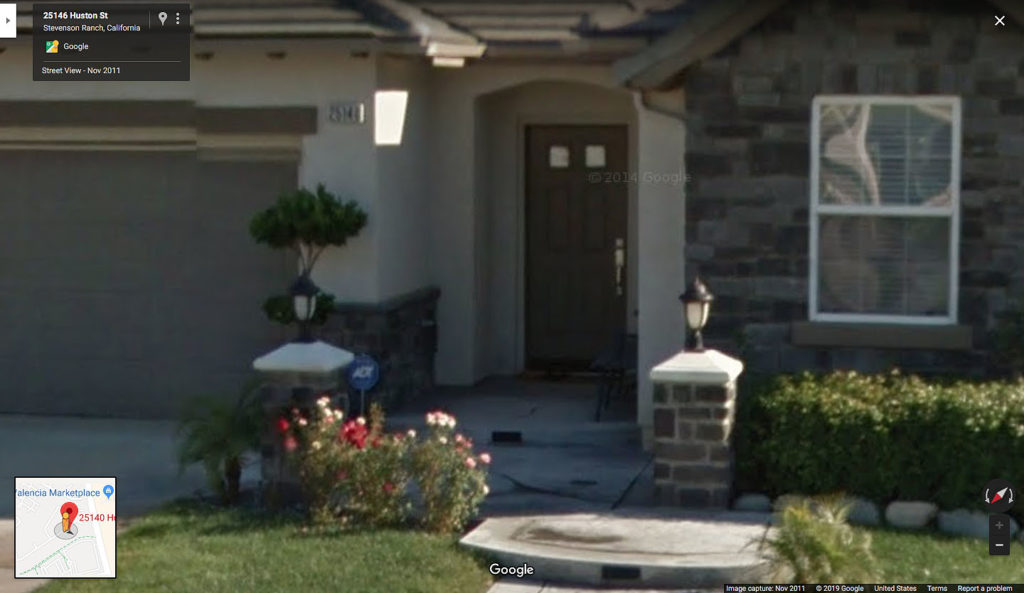
Here’s a look at that red front door from Part 5 along with a similar image from Google Maps.
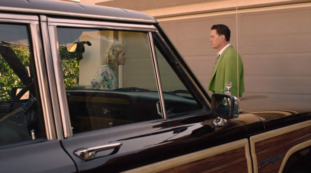
In Part 5, there is a brief look at Dougie Jones standing in front of his garage. It appears the garage door is the same color as the actual home.
BACKYARD
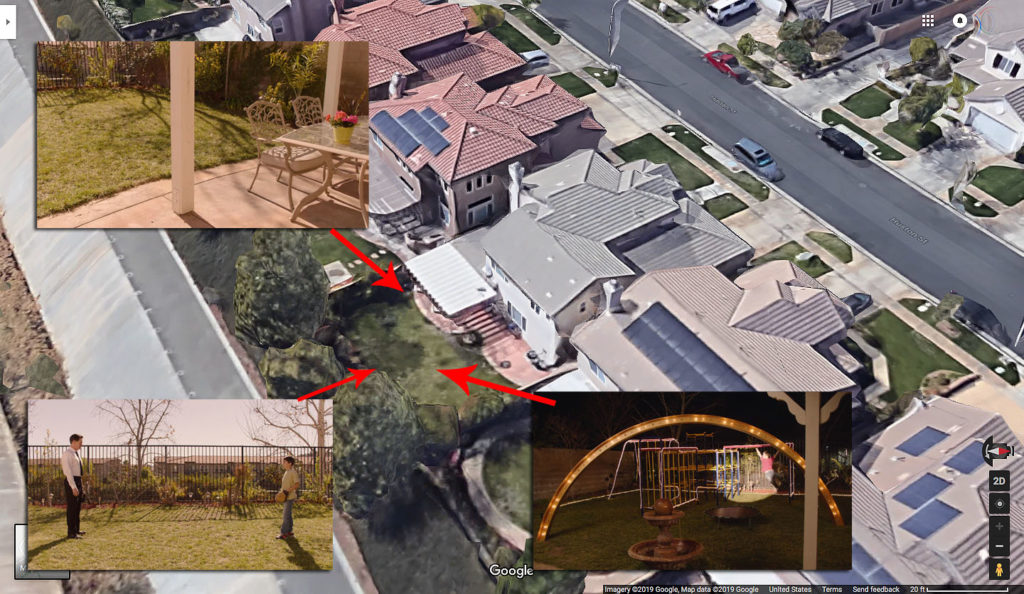
In Parts 12 and 13, we get a look at the backyard. Above is an image from Google Maps with approximate locations where scenes took place.
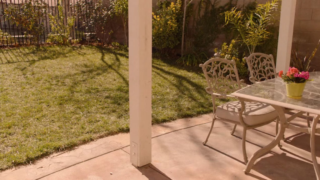
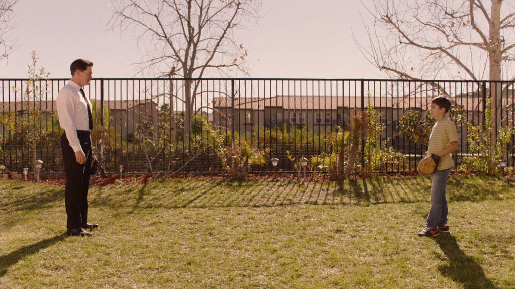
Part 12 contains a very short scene of Sonny Jim playing “catch” with Dougie Jones in the backyard.
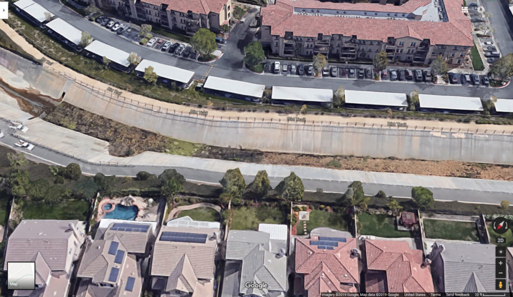
In the background, you can spot apartments behind the Jones’ house which are part of Fountain Glen, 55+ senior apartment complex.
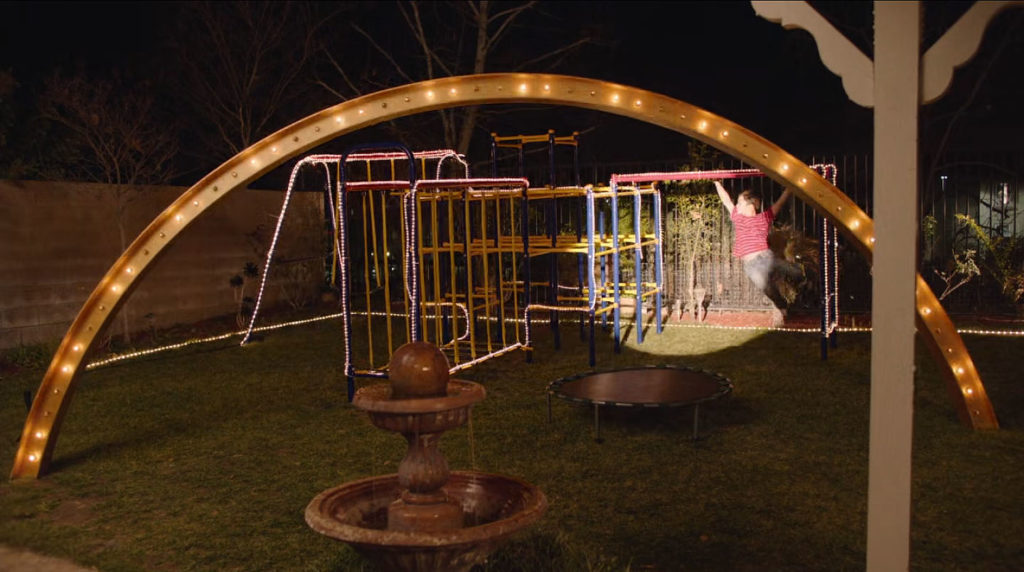
Part 13 has Sonny Jim playing on his new gym set courtesy of Silver Mustang Casino. The fountain in the backyard is part of the actual home and you can spot it on the Google Maps image above.
ACROSS THE STREET
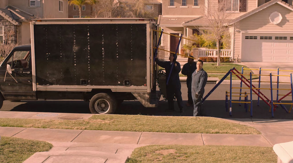
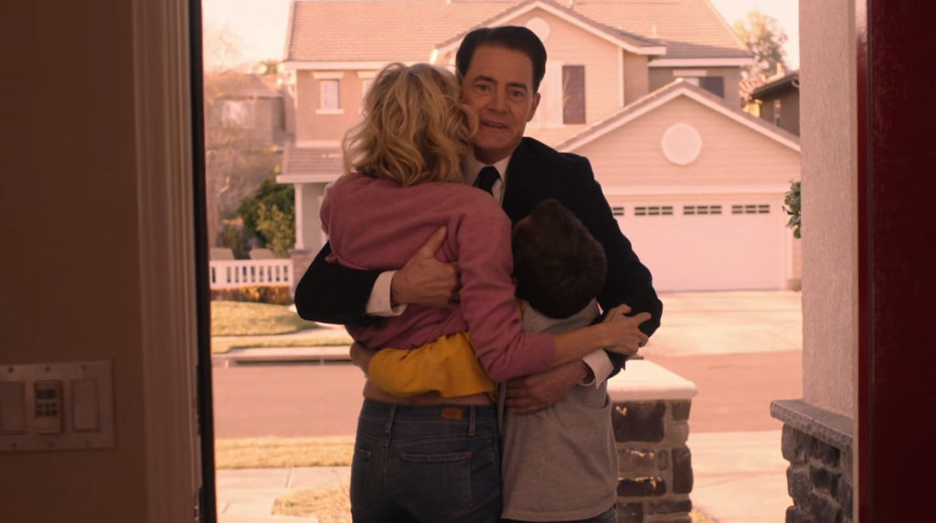
In several episodes, the camera catches some details across the street from the Jones’ house. For example, Part 13 has workers from the Silver Mustang Casino unloading the gym equipment, and Part 18 has the Jones family standing in the doorway.
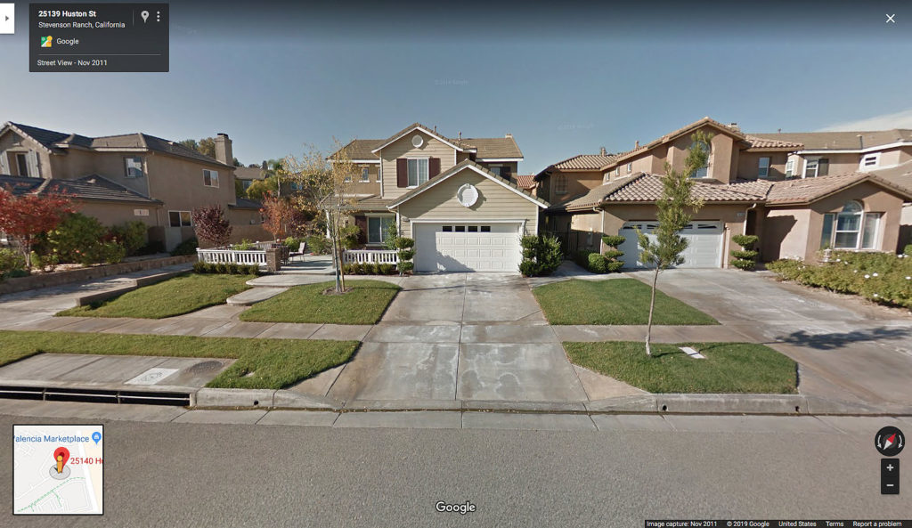
The home across the street is at 25139 Huston Street. You’ll notice there is an alley / driveway located to the left of the home.
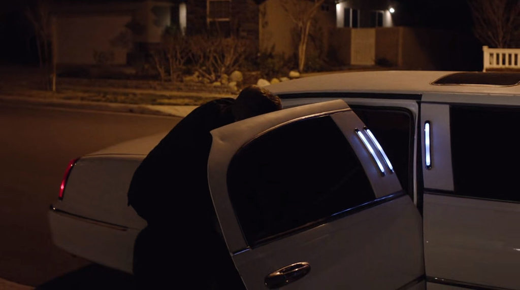
You can see part of the alley and the white fence in Part 4 when Dougie arrives home from the casino.
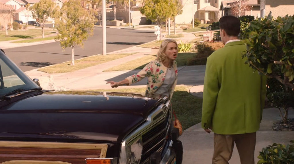
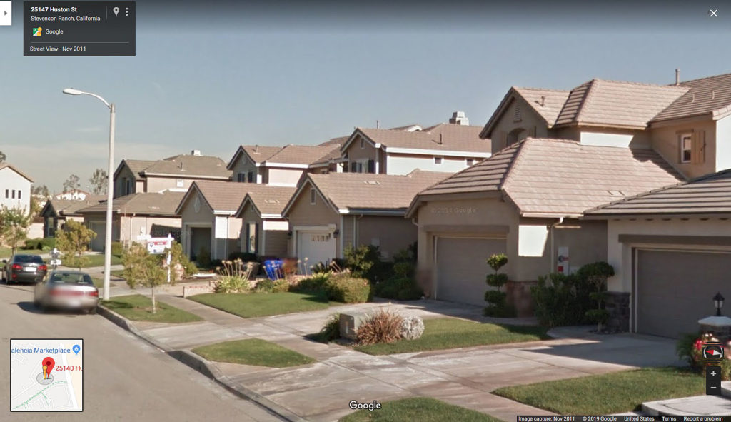
When Janey-E yells at Dougie in Part 5, we can see down the street from the Jones’ house. Google Maps doesn’t offer a way to get a similar image but you can see the light pole in the background of the scene.
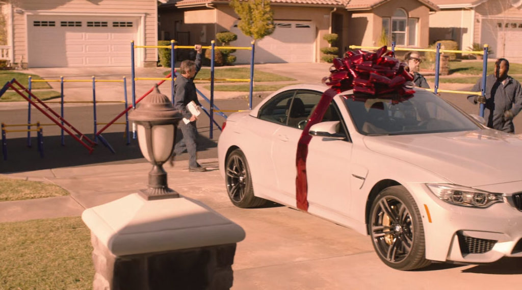
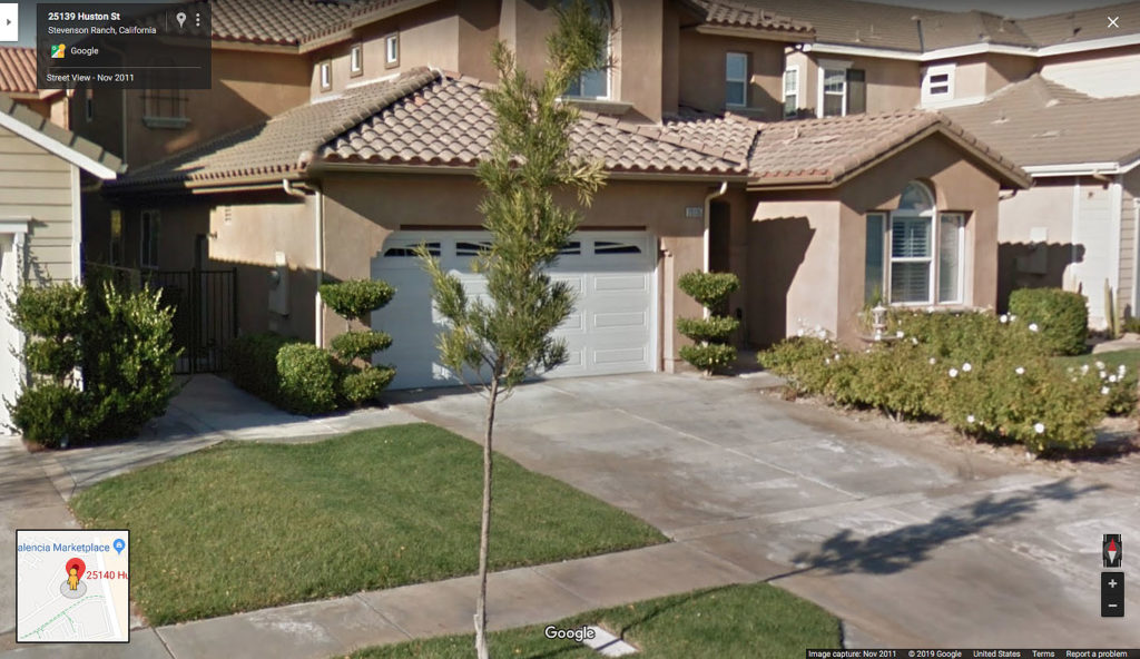
Finally, we catch a glimpse of the home at 25135 Huston Street in Part 13 as Janey-E looks at her new BMW and watches workers unload the gym for Sonny Jim.
Discover more from TWIN PEAKS BLOG
Subscribe to get the latest posts sent to your email.

