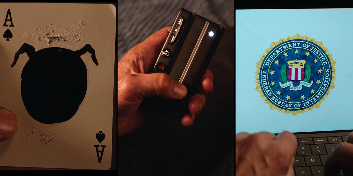
During my seemingly neverending quest to document all the Twin Peaks film locations, I love highlighting establishing shots like the Western Montana scenes from Part 13 in Season 3 on Showtime. While these scenes serves as great transitional shots for the series, they also have an interesting story as to how I found them.
WHERE ARE THE WESTERN MONTANA ESTABLISHING SHOTS IN TWIN PEAKS LOCATED?

I’ve had a placeholder on the Twin Peaks Locations page for one of these Western Montana establishing shots as I knew I’d eventually expand on what I originally found on September 3, 2017.


I found part of the Part 13 scene (the dirt road) while looking for the Motel establishing shot form Part 2. The latter scene was shot outside the now closed Bell’s Motor Lodge located at 230 N. Main Street in Spearfish, South Dakota.

I assumed that the Motel establishing shot was actual footage (not stock footage) captured by Jason S. He created ten short, behind-the-scenes films for the Twin Peaks Season 3 Blu-ray set titled Impressions: A Journey Behind the Scenes of Twin Peaks. If that was the case, then most likely he also shot other establishing shots.
It was because of his short films, particularly the aerial drone footage, that I pieced together where they got the Western Montana shots (sort of).
CATHEDRAL SPIRES IN SOUTH DAKOTA

In “Do Not Pick Up Hitchhikers,” there is a transition scene of a rocky cliff that was most likely captured by a drone.


The words “South Dakota” flash on the screen as the camera continues its approach.

The rock-covered mountains are actually Cathedral Spires located in Custer State Park located at 13329 US Highway 16A in Custer, South Dakota.

On the Google Maps image above, you can see the ravine that is just below Cathedral Spires.

There is a 1.5-mile (one way) trail to see Cathedral Spires according to BlackHillsTheHike.com:
The trail is located within an area of Custer State Park known as the Needles. Likewise, it can be found on Needles Highway. The easiest route from Hill City, SD is to continue on Hwy 385 until it comes to Hwy 87 (closed during the winter months). Turn east (left) onto 87 for almost 6 miles, then turn left again to stay on 87. From this last turn, at 2.4 miles you will come to a parking area and the trailhead for Cathedral Spires.
I highlighted this shot from the behind-the-scenes documentary first as it sets the stage for what we see in Part 13.


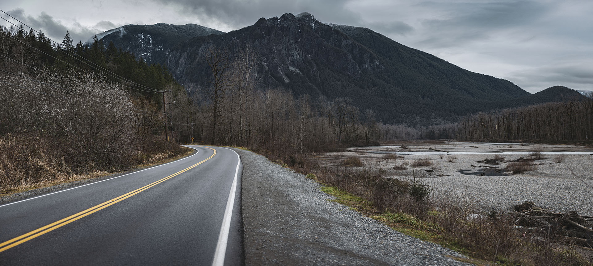
In Part 13, we see a rock-covered hill with trees. The words “Western Montana” fade in and out on the screen. Look carefully at those rocks and the overall landscape.

This aerial view of a spot near Cathedral Spires has the potential to be similar to the broadcast scene. It’s not the exact spot (I won’t know for certain until I visit this location). Yet, the fact that Cathedral Spires drone footage was used in Jason S.’s film and the Part 13 landscape appears to match the behind-the-scenes footage makes me think something was shot here.
One day I will find it.
SPEARFISH, SOUTH DAKOTA
This leads me to the second part of the Part 13 establishing shot. Again, I turned to Jason S.’s short film, “See You On The Other Side Dear Friend”


Similar to the Cathedral Spires shot, there is an aerial view from a drone flying over Spearfish, South Dakota. I used Google Maps to find the approximate path the drone took.


The words “South Dakota” suddenly appear on the screen as the drone continues it’s flight over Spearfish. The roads were pretty easy to spot on Google Maps.

As I established Bell’s Motor Lodge was in South Dakota, I decided to use Google Street View to see if I could find the dirt road establishing shot. I recall that it took quite some time in 2017 traveling on the roads via Google Street View. The search was also slightly more challenging as Street View was not available for every road in town.

Finally, I spotted the area along Hill Road. The approximate coordinates are 44°29’18.4″N 103°52’34.6″W

The spot was very close the Bell’s Motor Lodge. I’m guessing they shot both scenes during the same trip.


Luckily, Google Street View did visit a point near Hill Road. The buildings appear to match the ones seen in the episode. I look forward to visiting this spot one day as well. Considering it’s around 60 miles from Devil’s Tower, that visit may happen sooner than later.
CURIOUS CASE OF DUST ON THE LENS

One thing I noticed while researching these scenes is dust spots on the camera (see the red arrow).

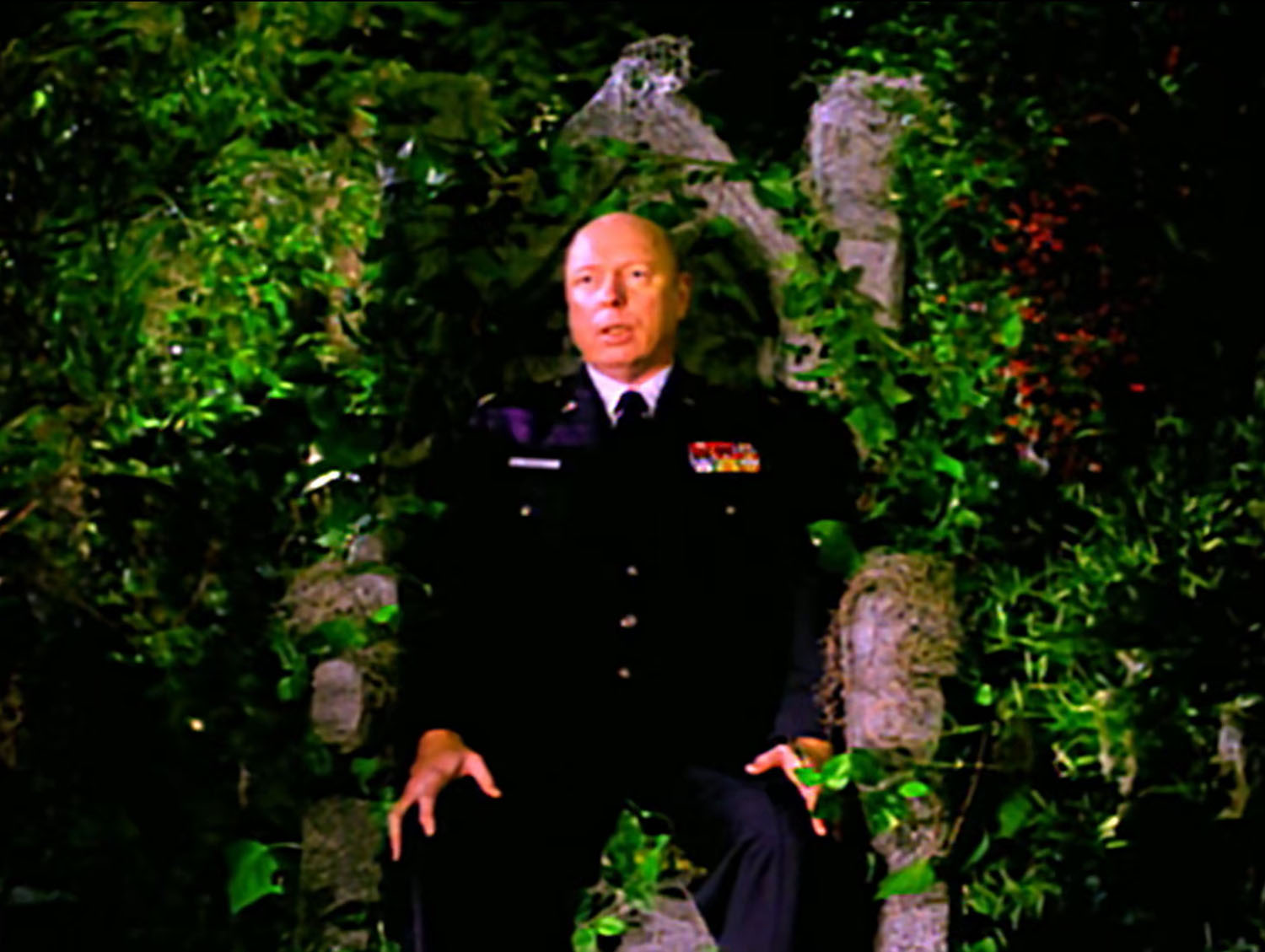
You can see those same dust specs above Gordon Cole’s head. This could mean that the footage used in the limo was actually rear projection and was also recorded by Jason S.
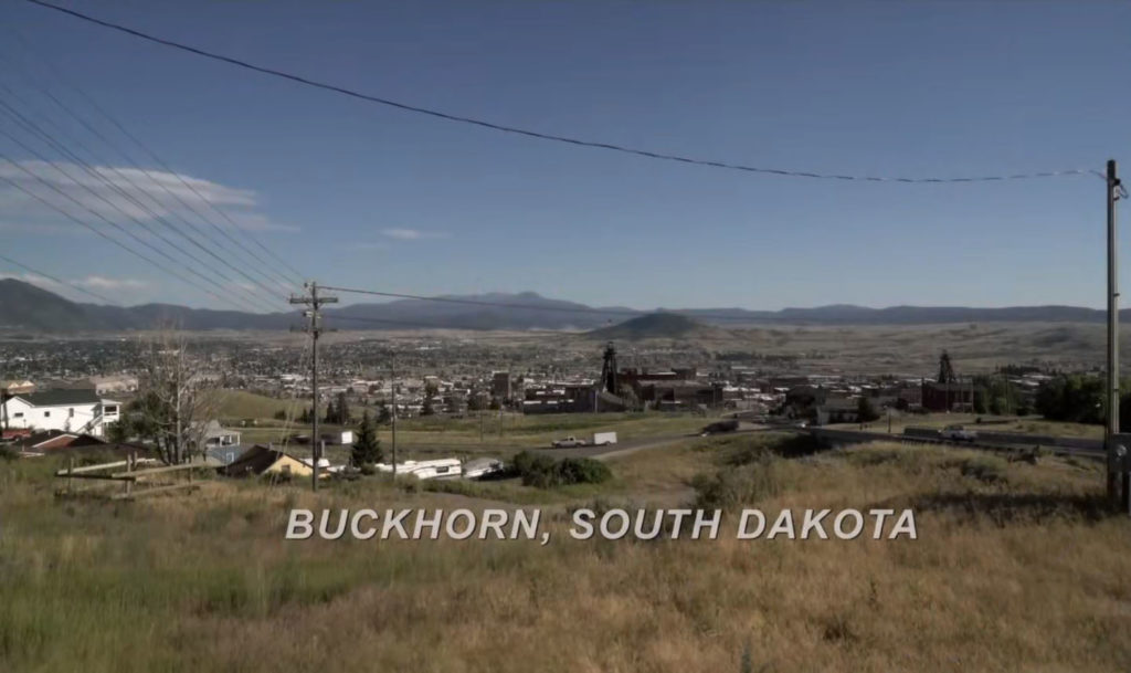
I first noticed the dust in the establishing shot for Buckhorn, South Dakota (which is actually BUTTE, MONTANA!!).

When I placed the Part 1 image over the Pat 13 image, placement of the dust spots appeared to align.
BLACK HILLS OF SOUTH DAKOTA?


To close this article, I share three establishing shot images from Jason S.’s film, “See You on the Other Side Dear Friend” that I’ve been unable to locate where they were shot. My gut tells me that this spot was in South Dakota as the landscape, trees and colors are reminiscent of the other South Dakota footage.


