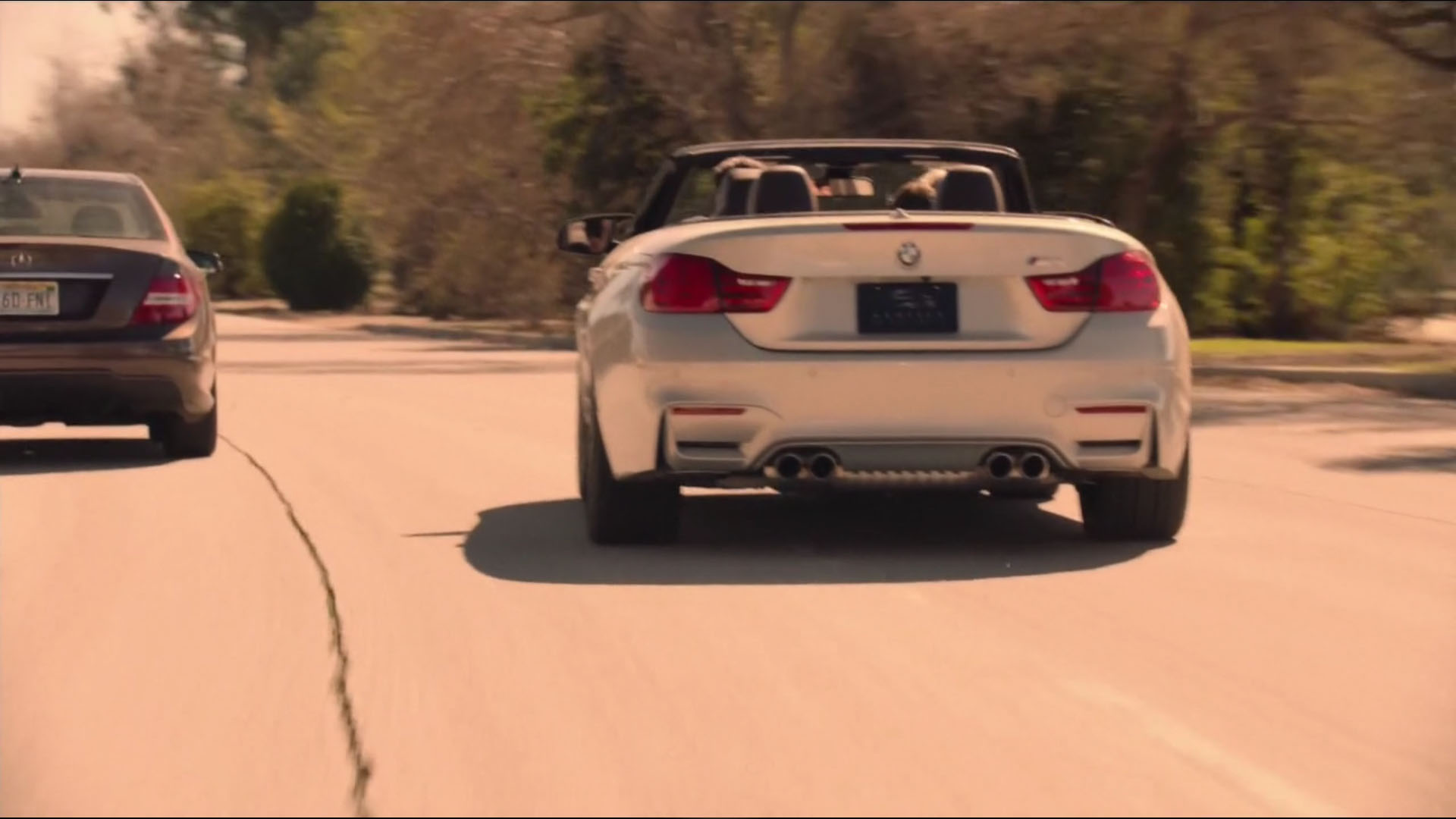
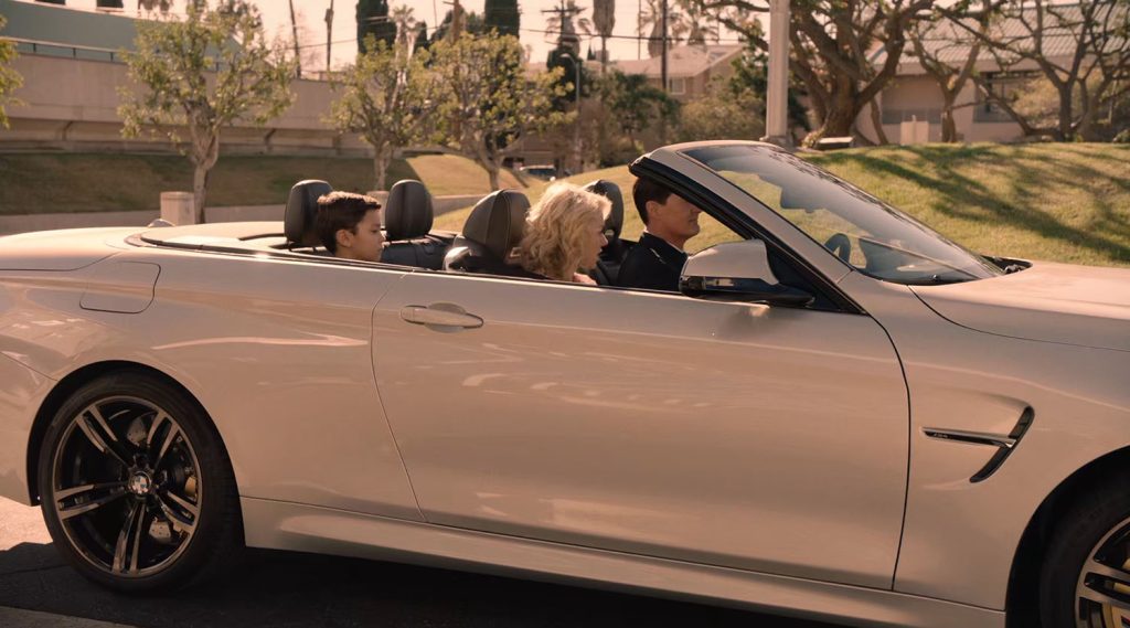
Special Agent Dale Cooper wakes up at a hospital in Twin Peaks Part 16 on Showtime. He quickly departs with Janey-E and Sonny Jim in a 2015 BMW M4 F83 Convertible heading to meet the Mitchum Brothers at the Silver Mustang Casino.
WHERE IS COOPER’S DRIVE TO THE SILVER MUSTANG CASINO IN PART 16 LOCATED?
This episode aired on August 27, 2017, and I immediately recognized the street where this scene was shot – 5797 Woodley Ave near SuihoEn: The Japanese Garden in Lake Balboa, California.

I visited the Japanese Garden in April 2012, so the landscape looked quite familiar. I also spotted a banner hanging along the side of the road advertising the garden. A beautiful stop in Los Angeles, the garden has served as a film location for several Star Trek episodes including one of my favorites, “Justice” from the first season of Star Trek: The Next Generation. But let’s take a closer look at the route “really good driver” Cooper took to the Silver Mustang Casino.
The scenes outside Memorial Hospital were shot on February 2 while thes driving scenes were shot at some point around February 8, 2016.
LEAVING MEMORIAL HOSPITAL IN LAS VEGAS, NEVADA
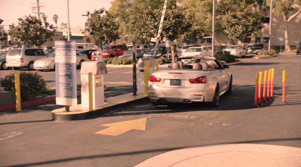
Cooper and family leave the hospital just as the FBI Agents from the Las Vegas field office arrive. The location is actually Valley Presbyterian Hospital located at 15107 Vanowen Street, Van Nuys, California.

Cooper exits through a gated parking area just as the FBI agent arrive through a main entrance. The aerial map above indicates the direction Cooper’s vehicle travels out of the parking lot.
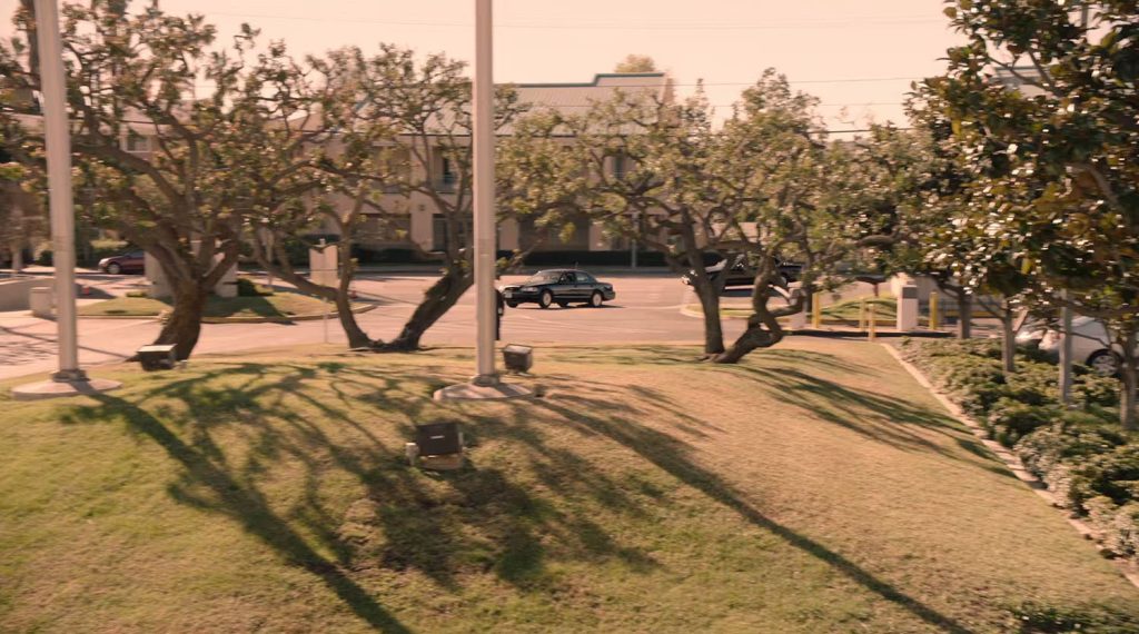

This Google Street View image is from the point of view of the FBI Agents’ cars pulling into the drive. The trees appear to match the trees found in the episode.

Valley Presbyterian Hospital is relatively close to Woodley Avenue where Janey-E meets the loan sharks in the park. Those scenes were also shot on February 8 so most likely they captured the footage on the same day.
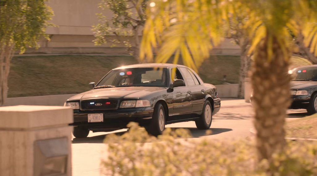
The scene cuts to a close up of the FBI Agents’ Ford Crown Victoria with a license plate – 43KL27.
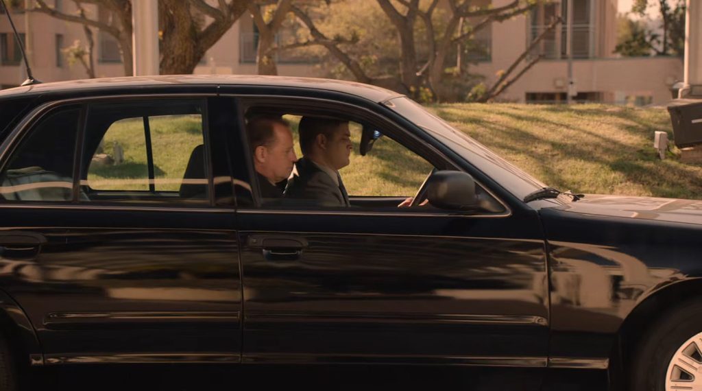
Agent Hedley parks the vehicle outside the hospital.
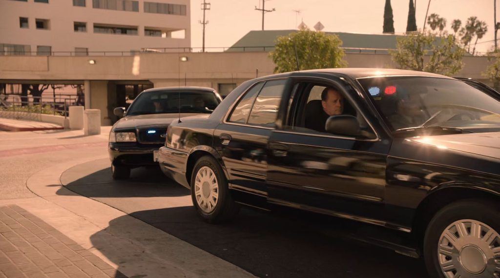
The FBI Agents exit the vehicle just before the scene cuts to Agent Cooper driving on Woodley Avenue toward the “Silver Mustang Casino.” This is where the magic of editing takes over.
COOPER’S DRIVE TO SILVER MUSTANG CASINO

There are approximately eight cuts in this scene. You can see the order of the scenes in the image above. Scenes 1 and 5 show the car being followed heading south on Woodley Ave. The car dialog scenes (2-4, 6-8) were then shot heading north on the road. The editing in this scene gives the appearance the road was much longer than where they actually shot scenes.
Here is a comparison of episode images versus Google street view captures:
SCENE 1
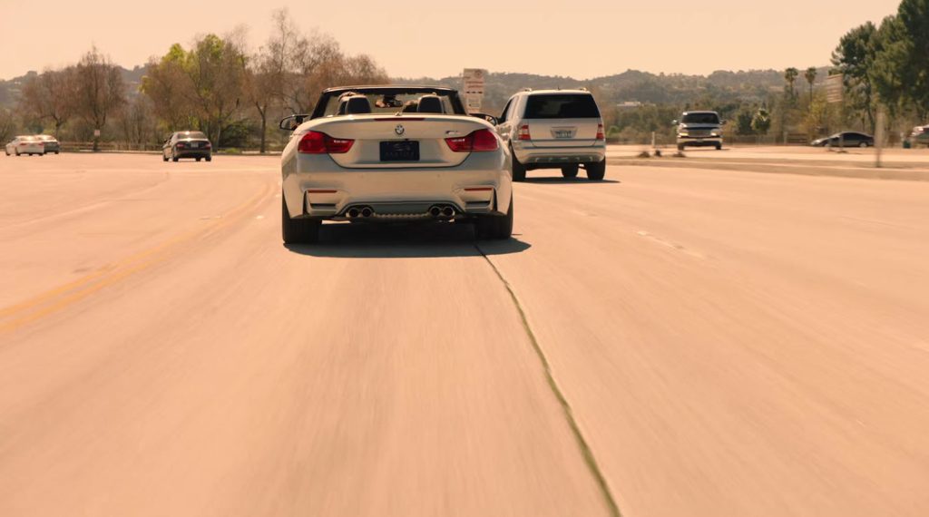
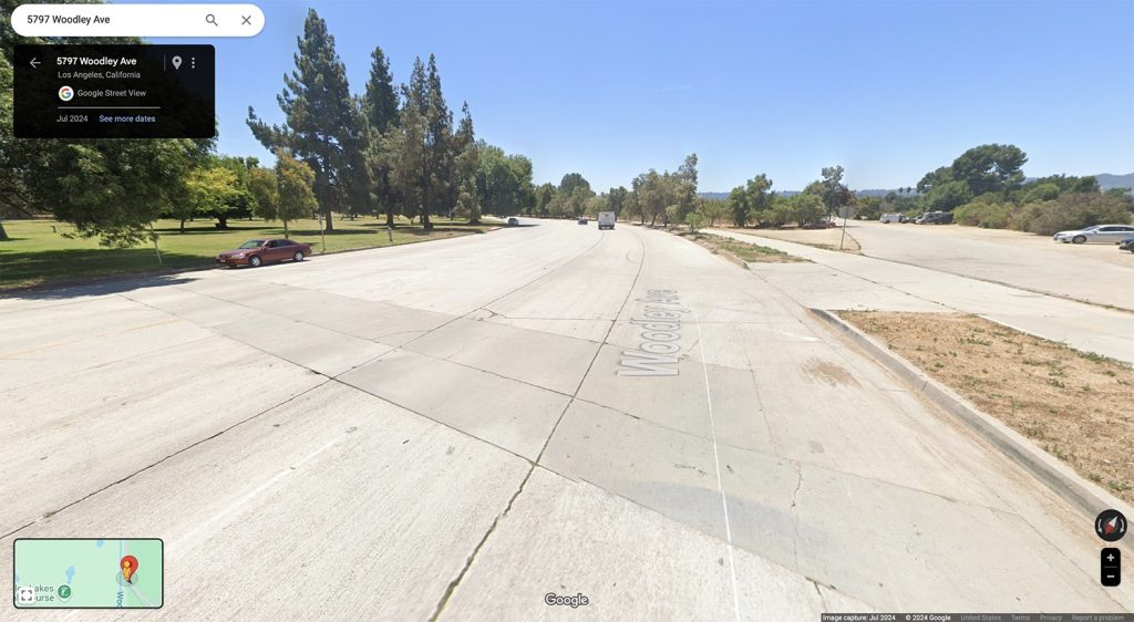
Scene 1 was shot near 5797 Woodley Avenue. There were roadsigns near the parking in 2016 but they are now gone as of 2024.
SCENE 2
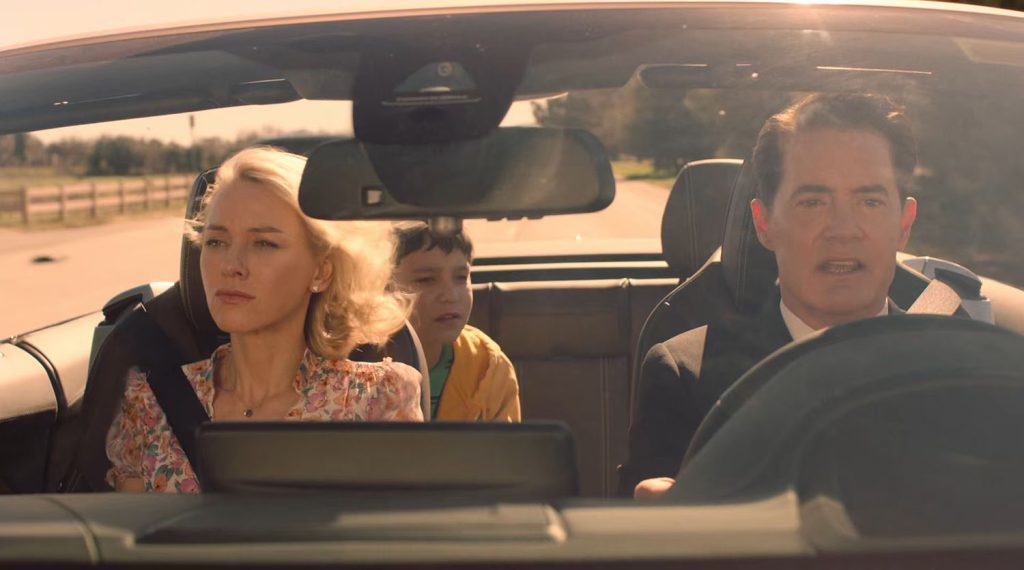
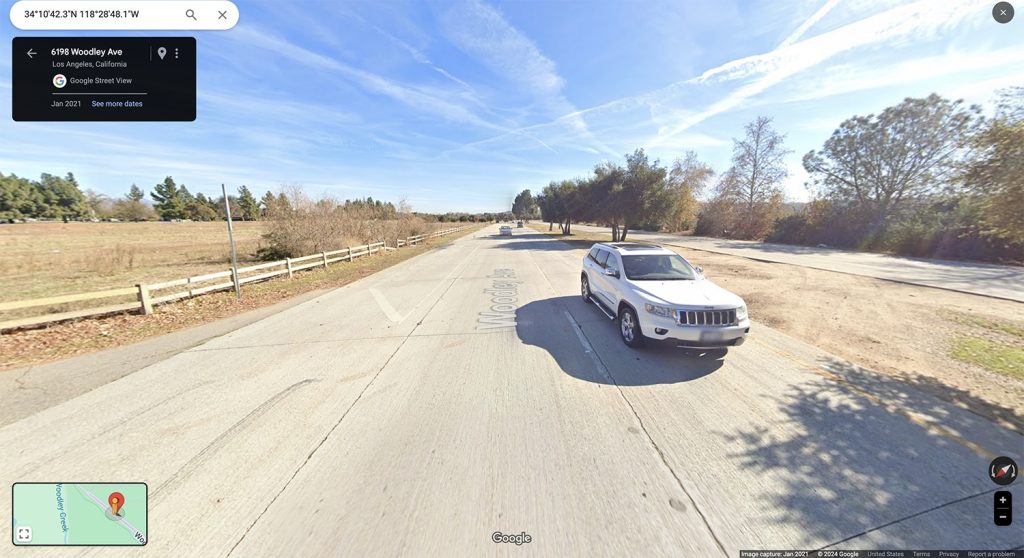
The camera cuts to Agent Cooper with Janey-E in the passenger seat and their son Sonny Jim in the backseat. You can see a wooden fence behind Janey-E which if found near these coordinates 34°10’42.4″N 118°28’48.2″W.
SCENE 3
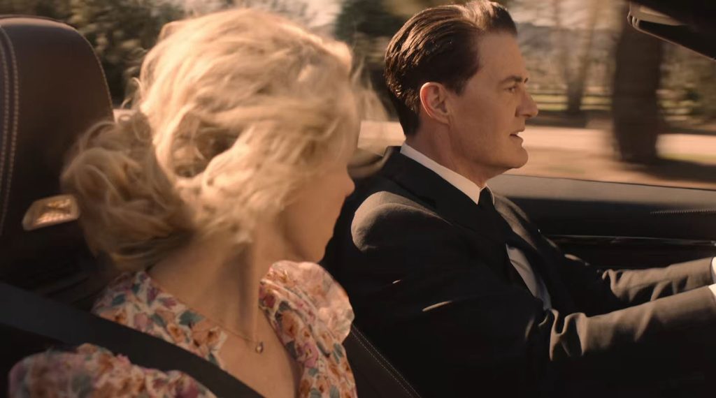
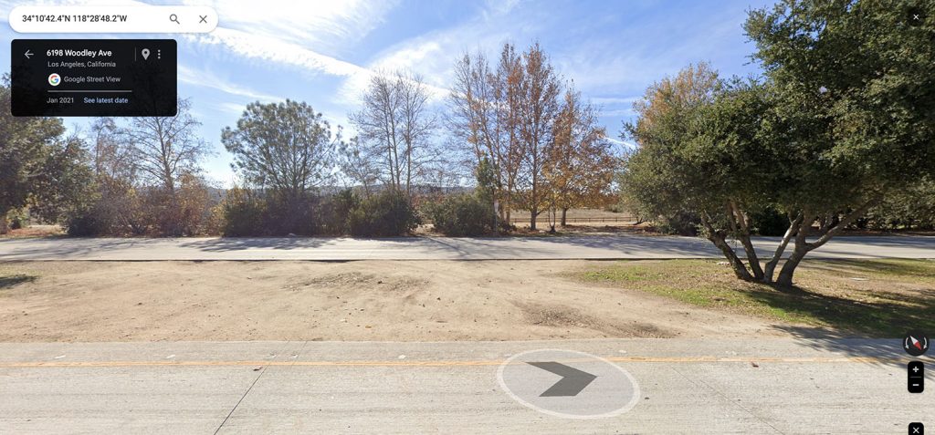
Scene 3 contains a cut to Cooper driving the car while Janey-E looks on. This scene was starts around the approximate coordinates 34°10’42.4″N 118°28’48.4″W and continues until approximately 34°10’43.3″N 118°28’49.8″W.
SCENE 4
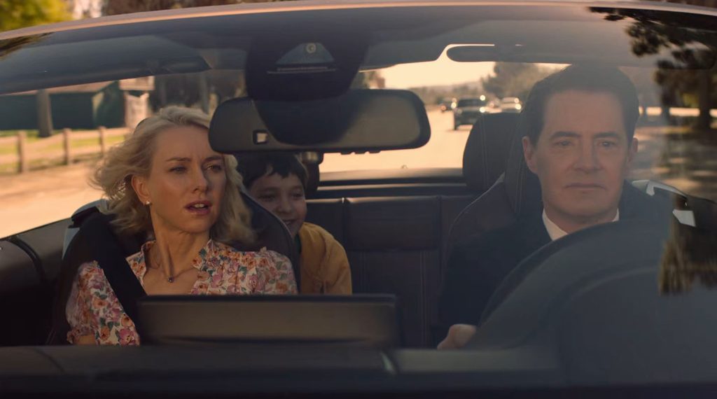
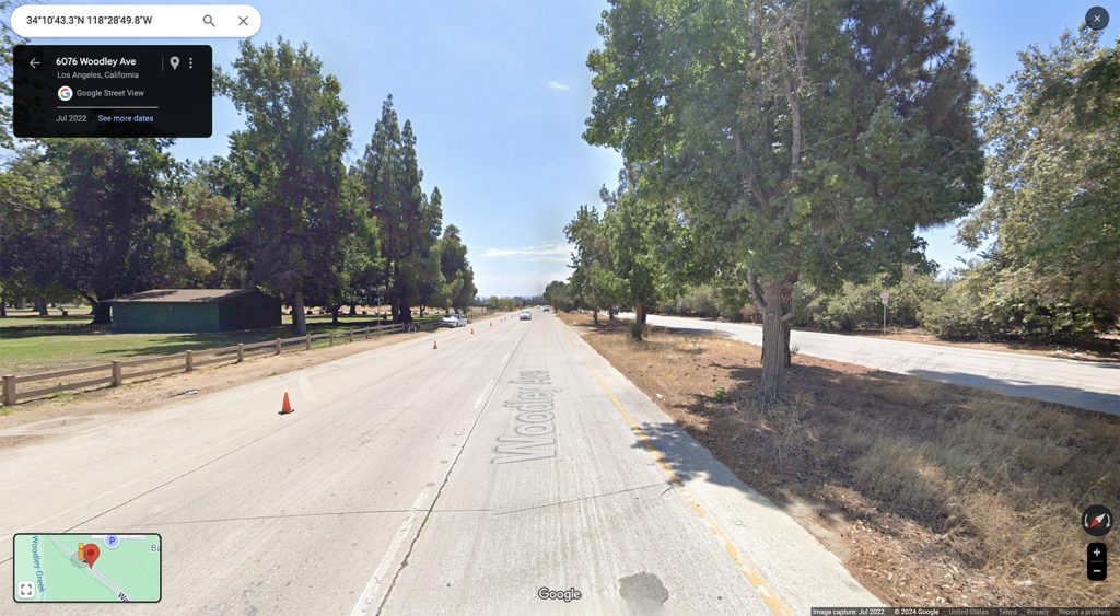
For scene four, the action cuts back to a front view of Cooper driving. You can see a green building in Woodley Park Section II behind Janey-E as they head down the road. The approximate location coordinates are 34°10’44.5″N 118°28’51.6″W.
SCENE 5
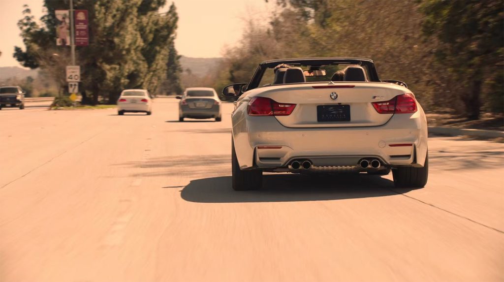
For Scene 5, we get a look at the back of Cooper and Janey-E’s BMW. The license plate reads “Exotics of Los Angeles” but I’ve been unable to find a look that matches. Most likely the crew rented this BMW for the day.
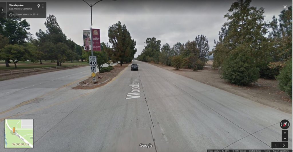
The Google Street View image from 2016 shows the same Japanese Garden banners above the 40 miles per hour speed limit sign. The approximate coordinates for this spot are 34°10’46.7″N 118°28’55.6″W.
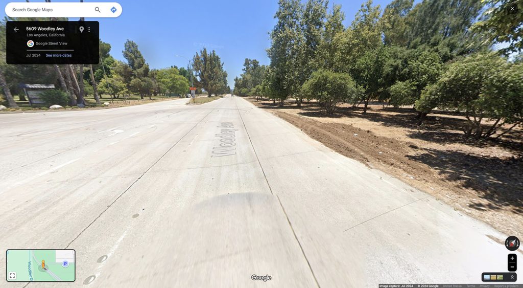
By 2024, the Japanese Garden advertising banners are long gone and the speed limit is now 45 miles per hour on Woodley Avenue.
SCENES 6-8
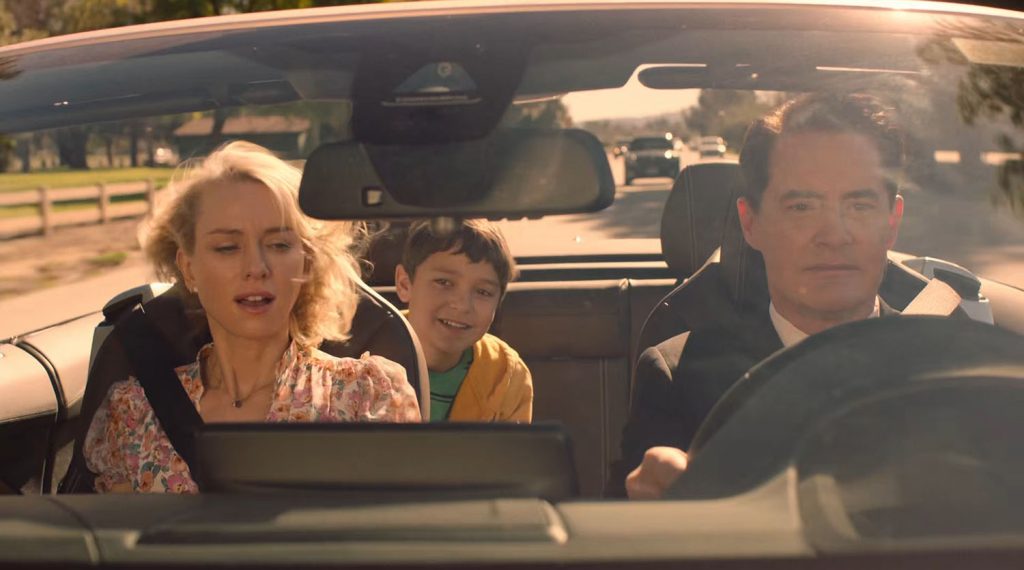
For scenes 6-8, the action picks up from scene 4 above. You can still see the green building behind Janey-E.
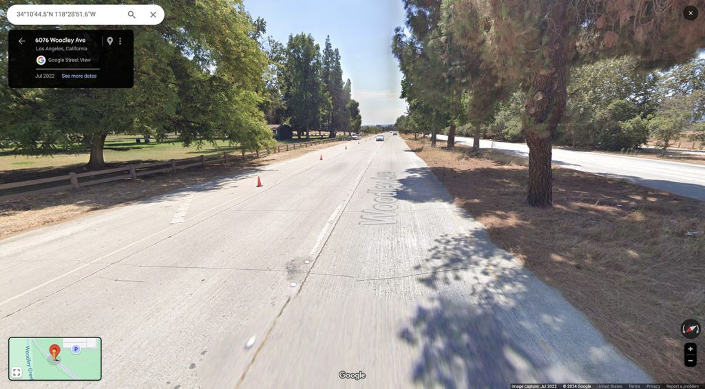
The approximate coordinates for this scene are 34°10’45.3″N 118°28’52.7″W.
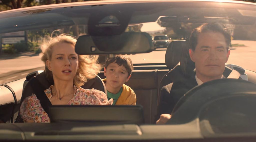
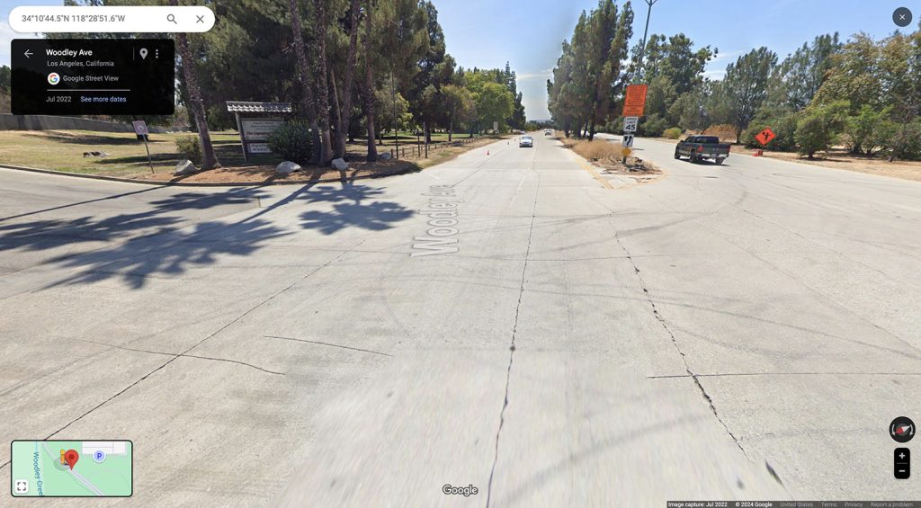
As Cooper continues driving down Woodley Avenue, the family passes the road sign for the Donald C. Tillman Water Reclamation Plant and The Japanese Garden, which is located around these coordinates 34°10’46.8″N 118°28’55.2″W.
You can see the 45 mile per house speed limit sign in the map shot. This is around the same location as Scene 5, except that scene was shot on the opposite of the road.
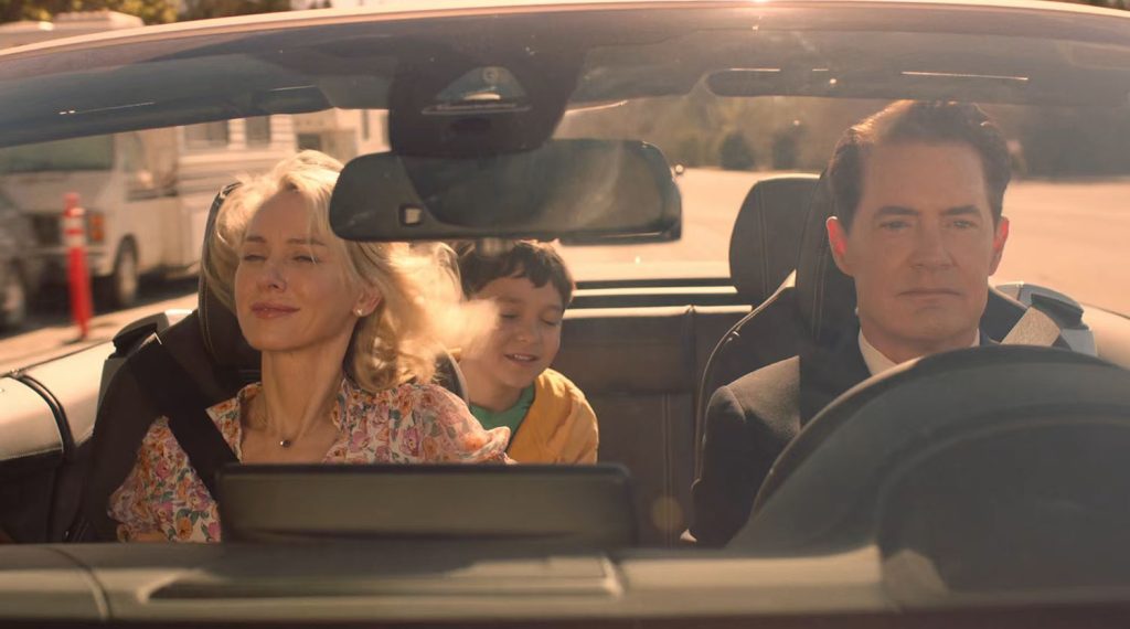
The scene concludes with the BMW driving past several recreational vehicles before cutting to Diane Evans drinking at a hotel bar.
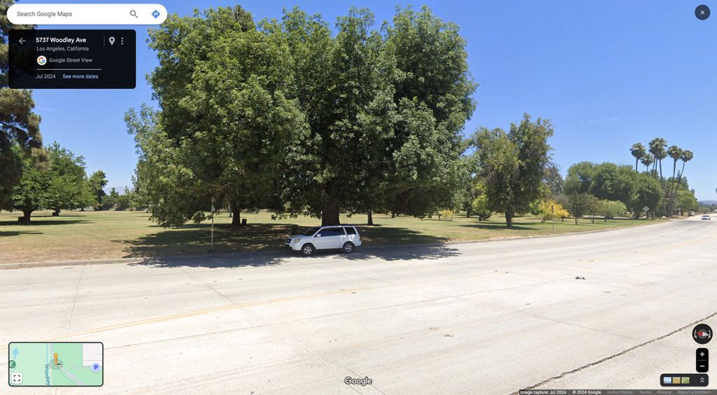
The coordinates for the end of the scene are approximately 34°10’49.7″N 118°28’59.0″W. The easiest way to find this spot is to look for the giant tree along the side of the road. The RVs in the episode cover this tree.
This scene now joins a long line of driving scenes found throughout the David Lynch and Mark Frost’s wonderful and strange series.
Discover more from TWIN PEAKS BLOG
Subscribe to get the latest posts sent to your email.

